
Local and state officials from Owensville, Bland, Belle, Rosebud and Gerald were invited to a Jan. 20 Rock Island Trail assessment meeting to visit with Missouri Department of Natural Resources …
This item is available in full to subscribers.
We have recently launched a new and improved website. To continue reading, you will need to either log into your subscriber account, or purchase a new subscription.
If you are a current print subscriber, you can set up a free website account by clicking here.
Otherwise, click here to view your options for subscribing.
Please log in to continue |
|

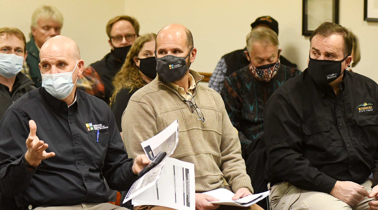


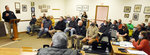

Local and state officials from Owensville, Bland, Belle, Rosebud and Gerald were invited to a Jan. 20 Rock Island Trail assessment meeting to visit with Missouri Department of Natural Resources (DNR) and State Parks personnel about resources and future partnerships.
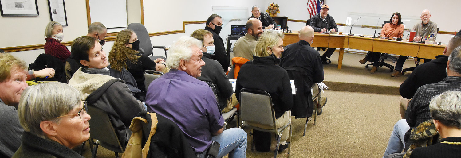
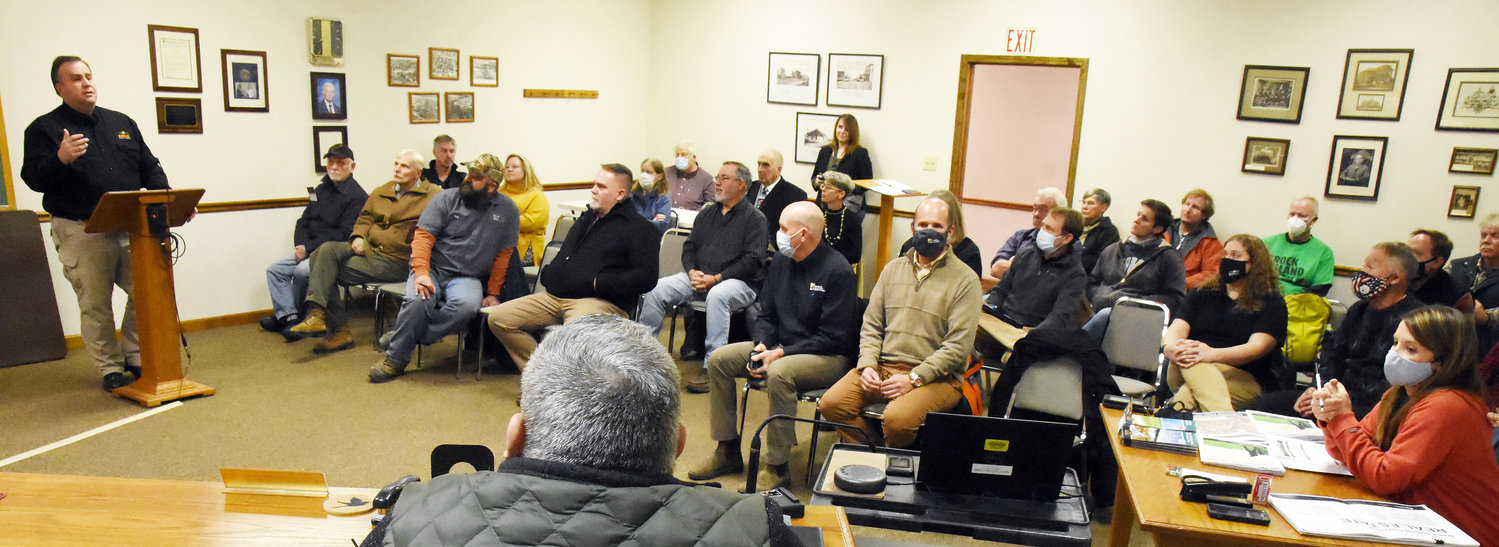
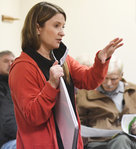
Missouri State Parks Director David Kelly began the meeting that took place at Owensville City Hall with 35 people in attendance.
“We are pretty excited about getting with you all and learning from you all if there are partnerships we can do,” Kelly said during his introduction. “A little bit about what we’ve been doing. We have three public meetings. The first was in Eldon and the next one is (Jan. 25). We are doing a planning process between now and the end of June and our goals are to meet with every community like we are doing here tonight.”
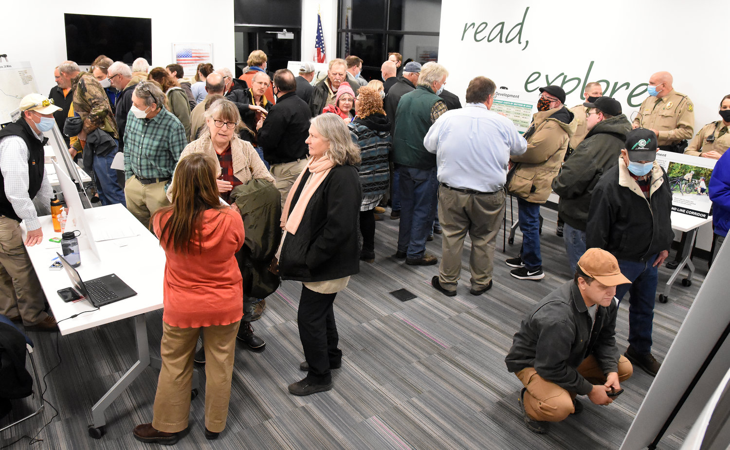
The assessment meeting took place after 83 people stopped in at the Owensville Scenic Regional Library to visit with DNR and State Parks officials about the Rock Island Trail.
Kelly credited State Rep. Bruce Sassmann, R-Bland, for suggesting the assessment meeting be held after a public informational meeting at Scenic Regional Library in Owensville.
“We are learning things every time we go, and we are adding things to the list,” Kelly said. “We are focusing on Owensville and Belle is here and we have a packet for you and want to meet with you in your community if you have things that you want to talk about over the same stuff we are doing here.”
Kelly gave the history of the Katy Trail that was accepted into the State Parks system in 1990.
“We are hearing a lot of concerns now that we did then,” Kelly said. “But for the most part there has been overwhelming support. We see it as a real exciting time for Missouri and State Parks.
The Rock Island gives the state a total of 431 miles of rail trail according to Kelly.
“Which will be a destination for folks not only in Missouri but all over the world.”
Kelly introduced Melonie Smith, deputy regional director for the northern region of State Parks. Smith deals with parts of the Katy Trail in her region.
Smith told the group, which included city board members from Owensville, Bland and Belle, school board and county representatives, Missouri Rock Island Trail, Inc. (MoRIT) members and community members, that she would discuss some of what was learned during the Katy project and answer questions from the community members.
Smith presented the following points of information:
The right-of-way is 50 feet in each direction from the center of the trail. Wider around depot areas.
“In some communities, Ameren had sold off parcels of that ahead of time. Cities have bought some parcels, individuals or businesses that needed parking,” Smith said. “These maps show what was actually transferred to the state.”
Trailheads
“When we are thinking about how the trail fits into a community, trailhead is the first thing we want to talk about,” Smith said. “Which communities are going to have a trailhead and where is it going to be.”
Standard trailhead for the Katy includes a location with parking and an information center.
“It is straight but you want to know where you are gonna go if you go left or right when you get on the trail,” Smith said. “Map panels, restrooms and water. Water is most critical as cyclists are athletically active.”
Other amenities at trailheads are bike work stations, bike racks, benches, pavilions, monuments or other local cultures.
“I know this trail has been on the horizon for a while in Owensville, so I thought we would open it up and let you all talk about what you are working on and where you are in the process,” Smith said.
Owensville Mayor John Kamler said he thinks the Owensville community is on the same page and that they are fortunate that they have owners of the trailhead right-of-way. “Is there a chance for more than one trailhead in our area?” Kamler asked. “Could we have one on each end of town? ‘Cause we have a pretty long stretch.”
Smith said that trailhead locations are influenced by community opinion and typically a community only has one trailhead that is advertised.
“We have a list on the Katy of alternate parking locations,” Smith began. “Maybe you have one actual trailhead and another with parking.”
Safe Routes to School
Kamler said the city has a land donation offer located near the school that may also be used as a trailhead.
“That is why the school is here too — a big part of ours is safe routes to school,” Kamler said. “Our kids cannot walk or ride their bikes to school and this will definitely make a difference.”
Smith said the land donation could be considered an in-kind match during a grant application.
Kamler also asked about lighting along the trail, especially through the brush and behind Lakeside Book Company, for kids walking the trail for Safe Routes to School.
“We don’t have any lights to-date because we are a day-use park, from sunrise to sunset,” Smith said.
Smith said in other places like Sedalia there is enough ambient light from street lights that it has helped. There aren’t street lights near enough to the trail near the school to create any ambient light.
Officials also discussed having emergency buttons located along the trail —where the children are walking — in case of an emergency.
Superintendent Dr. Jeri Kay Hardy said the Gasconade R-2 School District does plan to participate in applying for grants.
“I know we are looking at the Safe Routes to School grant which will allow within a two-mile radius of our main campus and a two-mile radius of Gerald,”Hardy said. “That is something that we are going to look into and there is more grant money for that.”
Hardy also mentioned that Sassmann filed a bill that may also assist in trail development.
“Tourism will also help to boost those modifiers,” Hardy said. “Any tourism the community receives will help boost those modifiers and benefit our kids a lot more. Any funding we receive through taxes goes to help benefit our schools. Tourism will also assist our kids in our community.”
Dru Buntin, director of Missouri Department of Natural Resources (DNR) added that all of the communities should consider the $250 million dollar Community Revitalization grant program.
“That could be another added benefit to this project,” Sutherland said.
Trail Development
“Is there a way to get a final dollar figure for what it would take?” Kamler asked. “Because, besides for grants, I think we are ready to fund our own if we could, just through town here. I think it would be a great partnership. We have a lot of support. MoRIT has been great and we have funds through them. I don’t know how long it will take to get that figure.”
Chryssa Niewald said that Ameren did an engineering study from the 3.5 miles from the middle school to the west end of town. Kamler said the city has been privy to that.
“We have talked with the other communities,” Kamler began. “We would love to see if it is possible, because we know some of this is going to take away with the trestle bridge, but we know that the stretch from Gerald to Belle is almost 40 miles, would be a great asset to this community if we could get that open as soon as possible. I think you guys probably feel the same way, if we could get that going together.”
Niewald said they already have engineering studies on both Soap Creek trestle on Highway 28 and the old Highway 50 bridge.
“It’s not going to come fast enough for any of us,” Smith said. “In the meantime we can be talking about those things and design aspects to have ready to go.”
State Parks gave officials map copies and a packet which included a basic partnership agreement form that could be used to enter into a trail agreement with State Parks.
“If we decided to move forward, who would be our insurance coverer for the time being until State Parks connects everything together,” Owensville city officials asked. “Like liability, does the city cover it or does parks cover it.”
Smith said the agreement says the city will be responsible for maintenance, insurance, liability and those things until it is transferred to the whole corridor,” Smith said. “I don’t know yet.”
Alderman Cathy Lahmeyer asked what type of maintenance the city would be responsible for.
“In this agreement, yes,” Smith said. “Because we don’t have any staff. If you are wanting to move forward faster than the whole rest of the thing, that is something you need to think about because we don’t have any staff. At least today.”
Smith said they have staff on the Katy all of the time.
Buntin, the DNR director, said that to even get to the point of accepting the trail in December 2021, they made a strong commitment that it shouldn’t detract funding from other state parks with a different model for partnerships.
“I think we want to at least consider areas in the city if there is not some sort of a longer-term arrangement to feel like we have kept our commitment to try to do this in a way that was in partnership with communities along the trail. That might involve some arrangement that may be different from the Katy,” Buntin said. “We have to consider the staff to do this and see if you guys will consider doing this in a different way than what has been done.”
Owensville Alderman Rob Borgmann asked about the continuity of restrooms and other buildings along the trail.
“We have a building that is along the trail that we are wanting to revamp into a restroom,” Borgmann said. “Could we do that instead of putting a brand new one down?”
Smith said it was a possibility. It would be all weather and the city would do their best to keep it that way.
“That is not a unique circumstance,” said Mike Sutherland, deputy director for the Department of Natural Resources (DNR). “There is a small pocket of parks that are already developed with amenities. In meetings so far, that has been the case, and different from the Katy Trail because the Rock Island goes through the middle of substantial towns.”
Sutherland said it is the trail evolving to have the community park system and trail in one place and would be “silly not to take advantage of it.”
“We look at the specs of the Rock Island Trail and all along we have said this could be different and should be different especially if we are partnering with towns and you all are investing in it. Your identity should be reflected in it,” Sutherland. “There will be continuity but it will be different.”
Sutherland said communities could create their own unique trailheads as long as they are built to the specifications of State Parks.
“We all are going to have to agree on it, but I don’t think we are going to be super strict,” Sutherland said. “We need to have identity but consistency. The character and identity of the Rock Island Trail needs to be unique to the extent to partner with the communities to take advantage. Think how we can do that in a way that creates a regional identity for the Rock Island Trail that is going to help in marketing.”
Kelly said the National Parks Service would bring resources to help with that planning.
Sutherland added that they could provide specifications for the trail that needs to be met for continuity and safety if communities want to begin building their trailbeds right away. There is no target date for the corridor to be completed.
Community flavor
Smith said that maps are usually available to see sections of the trail and even a closer look to see what is available in towns along the route.
“There are lots of options to have a standard element,” Smith said. “Usually there is some local culture or flavor that we would add to each explanation about the towns.”
Each trailhead includes a map of the town, the surrounding area and amenities.. Restaurants are not typically included on the map.
Ultimately, town officials will be able to set up a meeting with State Parks to discuss their individual needs. Funding is available through ARPA and several grants that were discussed during the meeting. Sassmann pointed out that funds must be used before they expire.
“ARPA money has to be used in the next five years,” Sassmann said. “Isn’t that exciting? This could happen in the next five years.”
Rebecca McKinstry with DNR told officials she could do an obligatory edit of their Rails to Trails Program grants if they are submitted by Jan. 28 for the Feb. 16 deadline.
Buntin said Gov. Mike Parson’s budget requests presented during his Jan. 19 State of the State speech were a game changer for State Parks and the future of the trail.
In his speech Parson noted how more citizens and travelers are experiencing Missouri’s great outdoors. To complement this state asset, expand tourism, and drive small business growth and job creation, Parson proposed investing $69 million to begin construction of the Rock Island Trail, which will become the largest circular rail-to-trail network in the United States.
“Because we are doing it in a different way, I think it is going to be really positive,” Sutherland said. “I think it is going to look different.”